
RevDrones Products
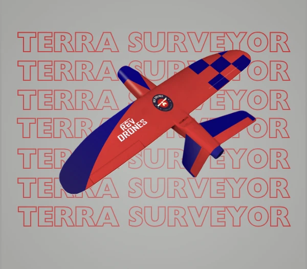
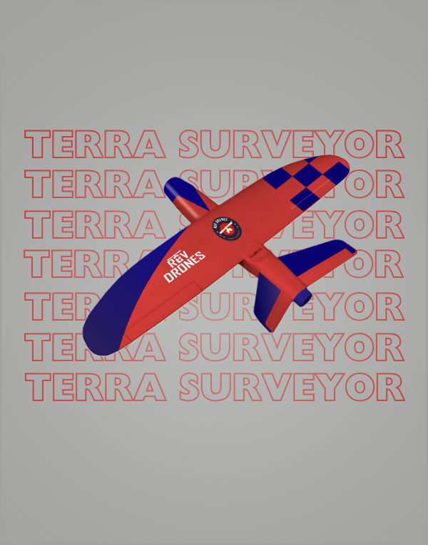
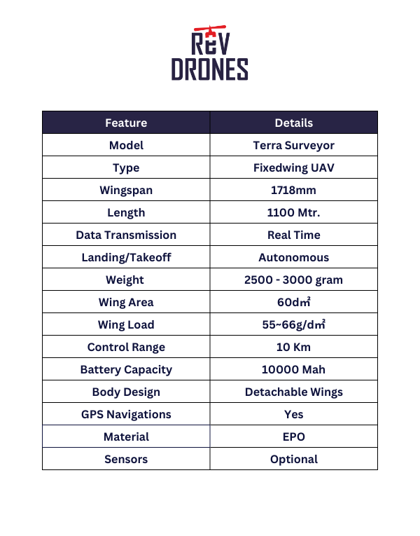
Terra Surveyor
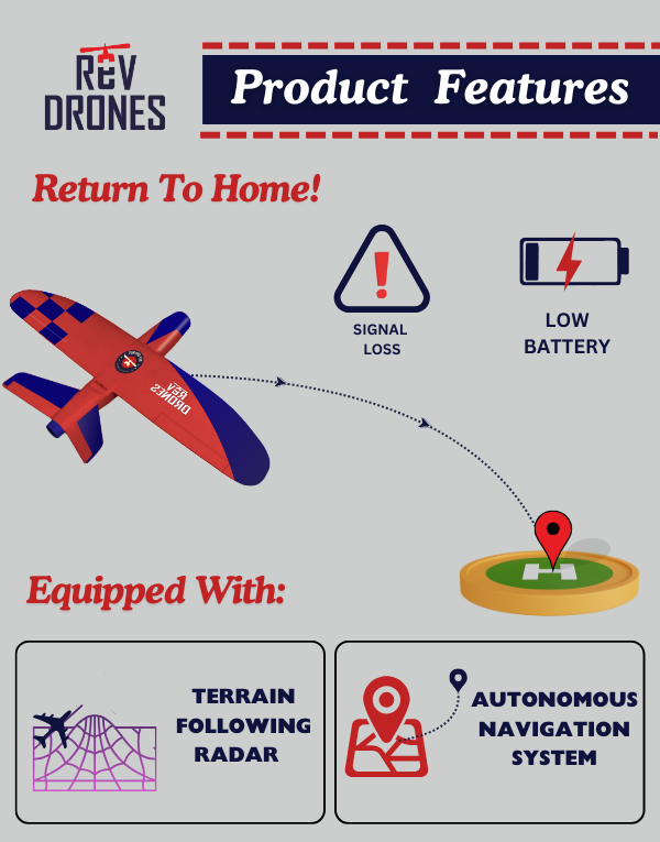
TerraSurveyor, the ultimate fixed-wing UAV designed for large-scale surveying and mapping projects. Engineered for precision and efficiency, TerraSurveyor is your go-to solution for capturing high-resolution aerial data across vast terrains. Whether it’s for urban planning, environmental monitoring, or agricultural assessment, this UAV delivers unparalleled accuracy and coverage. With its extended flight time and robust build, TerraSurveyor ensures that no detail is missed, making it an indispensable tool for surveyors and GIS professionals.
Category: Surveying Drone