Drone Technology for smarter construction.
1. Land Survey:
Our drones perform detailed land surveys, capturing accurate topographic data and creating comprehensive maps for construction planning and development. These surveys provide crucial insights into the terrain, helping to identify potential challenges and opportunities before construction begins.
2. Aerial Mapping:
We generate high-resolution aerial maps using advanced drone technology. These maps offer a comprehensive view of construction sites, assisting in planning, monitoring, and managing projects more effectively.
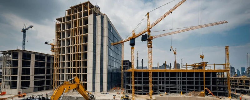
3. Site Monitoring:
Our drones provide real-time monitoring of construction sites, capturing images and videos to track progress and identify potential issues. This service allows for continuous oversight, ensuring that any problems are detected and addressed promptly, thus keeping the project on schedule and within budget.
4. River Mapping:
We conduct detailed drone mapping of rivers and surrounding areas, providing essential data for construction projects near water bodies. These maps include information on river paths, floodplains, and surrounding terrain, helping to assess flood risks and environmental impacts.
5. Smart City Survey:
Our drones perform comprehensive surveys for smart city projects, capturing detailed data on infrastructure, traffic patterns, and urban planning elements. This service provides valuable insights for designing and developing smart cities, ensuring efficient use of resources and enhancing the quality of urban life.